home
***
CD-ROM
|
disk
|
FTP
|
other
***
search
/
Resource Library: Multimedia
/
Resource Library: Multimedia.iso
/
hypercrd
/
wrldfct1.hqx
/
World Factbook Maps 1.0
/
BMAP_38363.png
< prev
next >
Tile
Portable Network Graphic
|
1992-02-02
|
3.4 KB
|
512x342
|
1-bit (2 colors)
ocr:
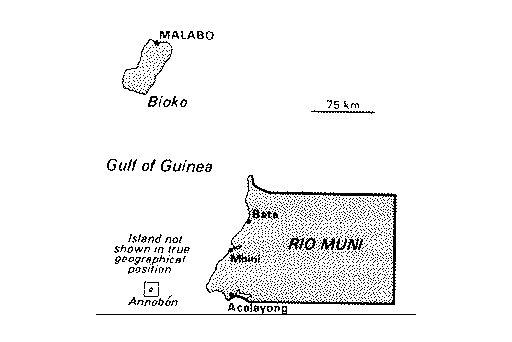
MALABO Bioko 75km Gulf of Guinea Bata: stand not RIOMUNE shown i true geographical posion - - Annobon Acolayong